Putting the pieces together
Using Google Maps, I was able to create a sketch of exactly where and how I wanted to add my assets to my map. Being able to note and draw exactly where I wanted each building to be located and allowing myself to understand the design of the Palm, not only that, I managed to see what kind of buildings were needed and how they should be coloured, and designed to their allocated location within the Palm.
After looking at other people’s 3D designs of the Plam, I was mainly inspired by the different layouts and how other people had looked at the Palm and chosen to use blocks rather than building designs, using different sketches and blueprint designs of the Palms ground design to create the beach and landmarks. My design was intended to include the beach of the Palm, however, given my knowledge and experience with Maya, that became unsuccessful and I was unable to add a smaller layer to the side of the palm for the beach. It would have also caused further complications when adding assets to the ground in the VR Frame, which may have been time-consuming to fix and alter later.
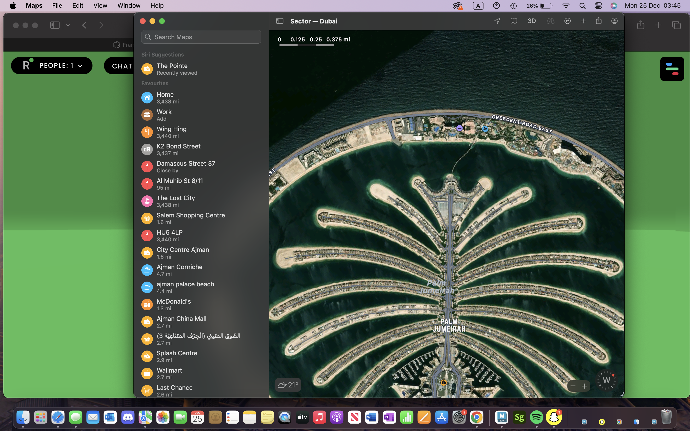
Google Maps was probably the most effective research design piece that helped me significantly to sketch and visually plan my map piece. I was able to outline properly where and how I wanted to put certain buildings and whether further considerations to certain areas of the map were needed or could be changed as my VR is not a real-life 3D satellite design look, but rather a rough piece.
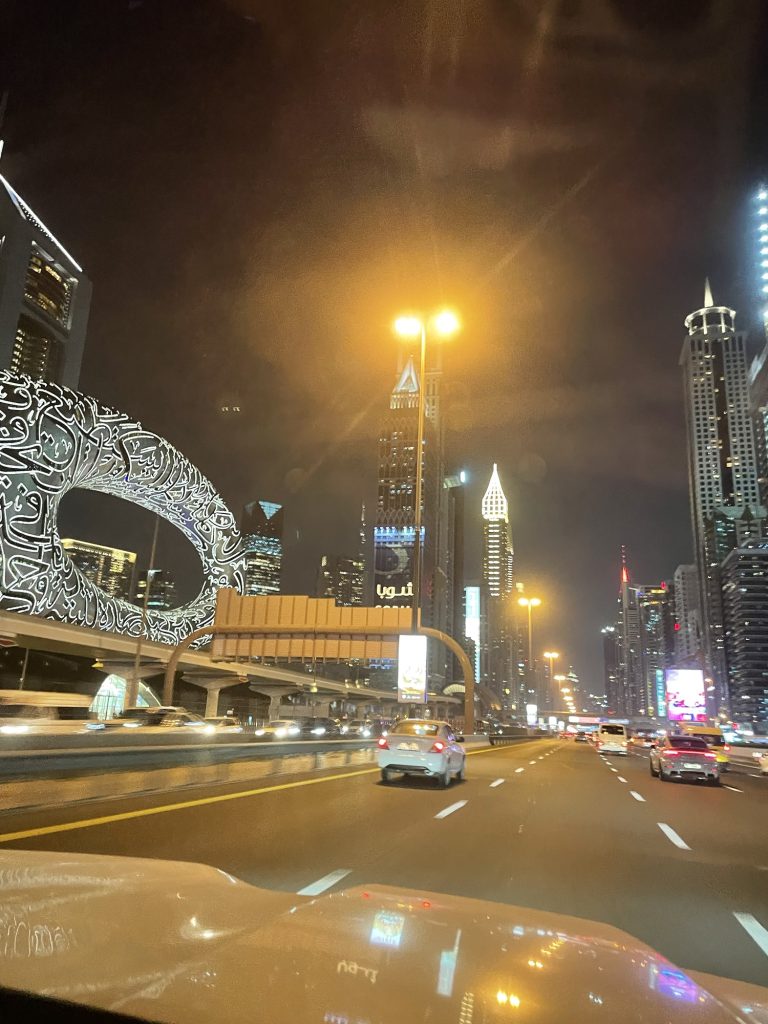
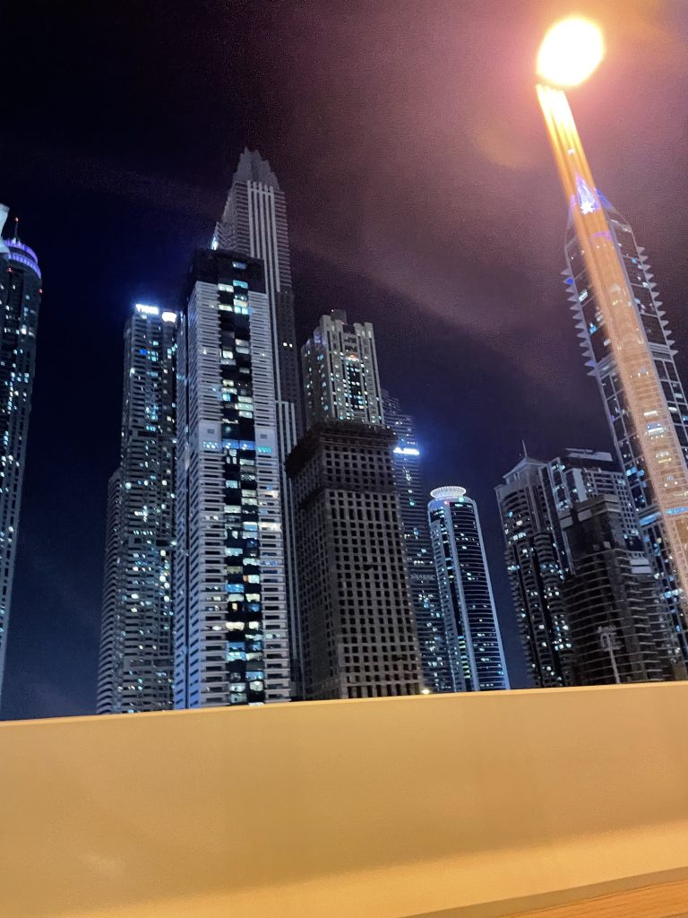
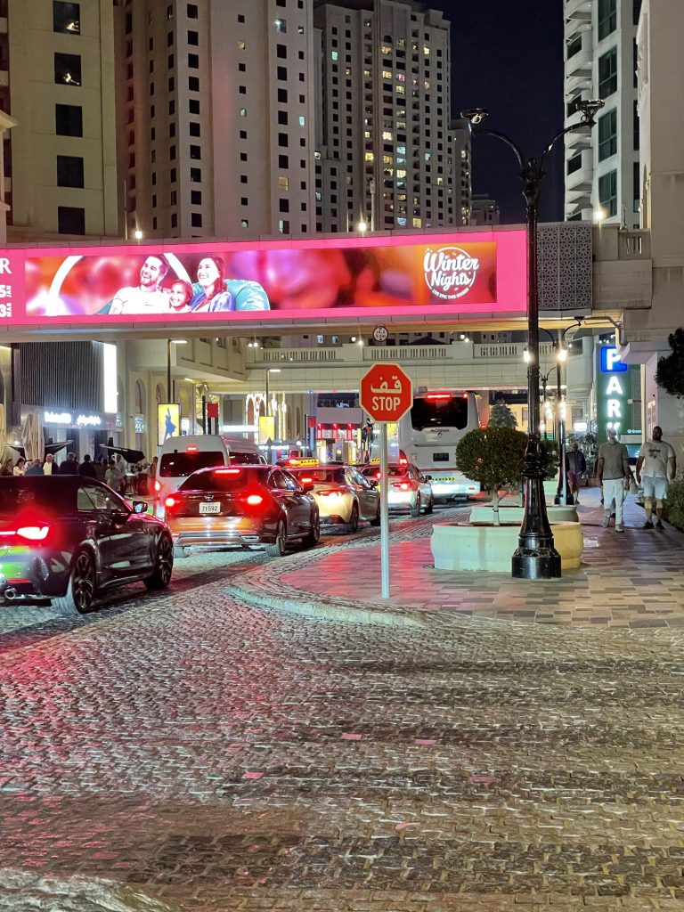
Since I had the opportunity to visit the UAE, I managed to further enhance my research and look out for the particularly larger buildings, have the ability to view clearly and see how these buildings stand beside one another so that I could implement this to my own work. I toke the time to visit the Palm Jumeriah and look further into its layout and design from the ground and up.
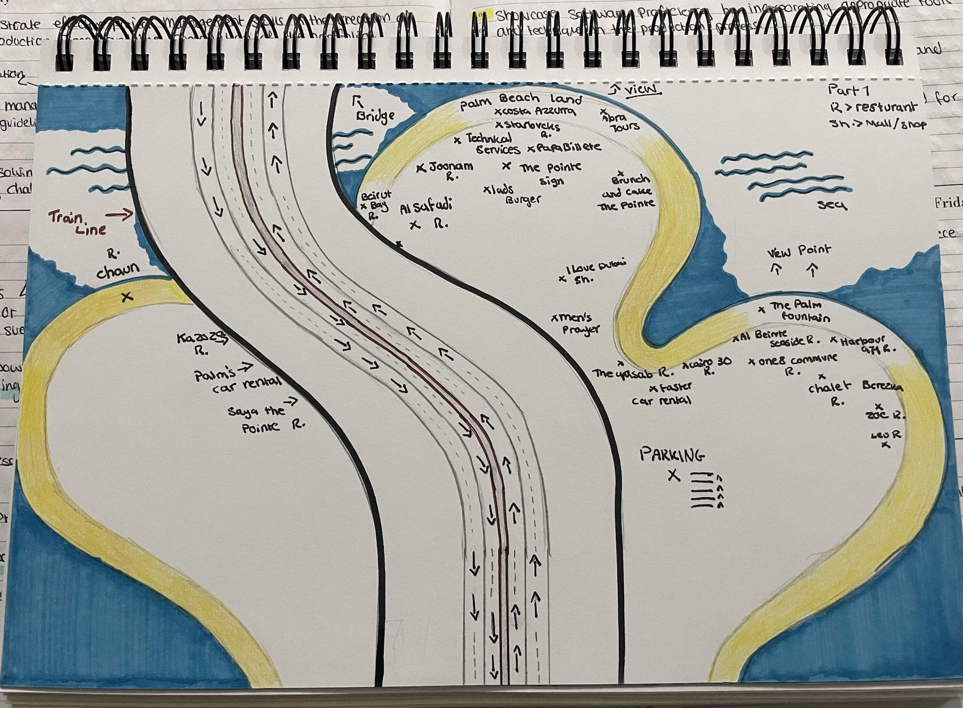
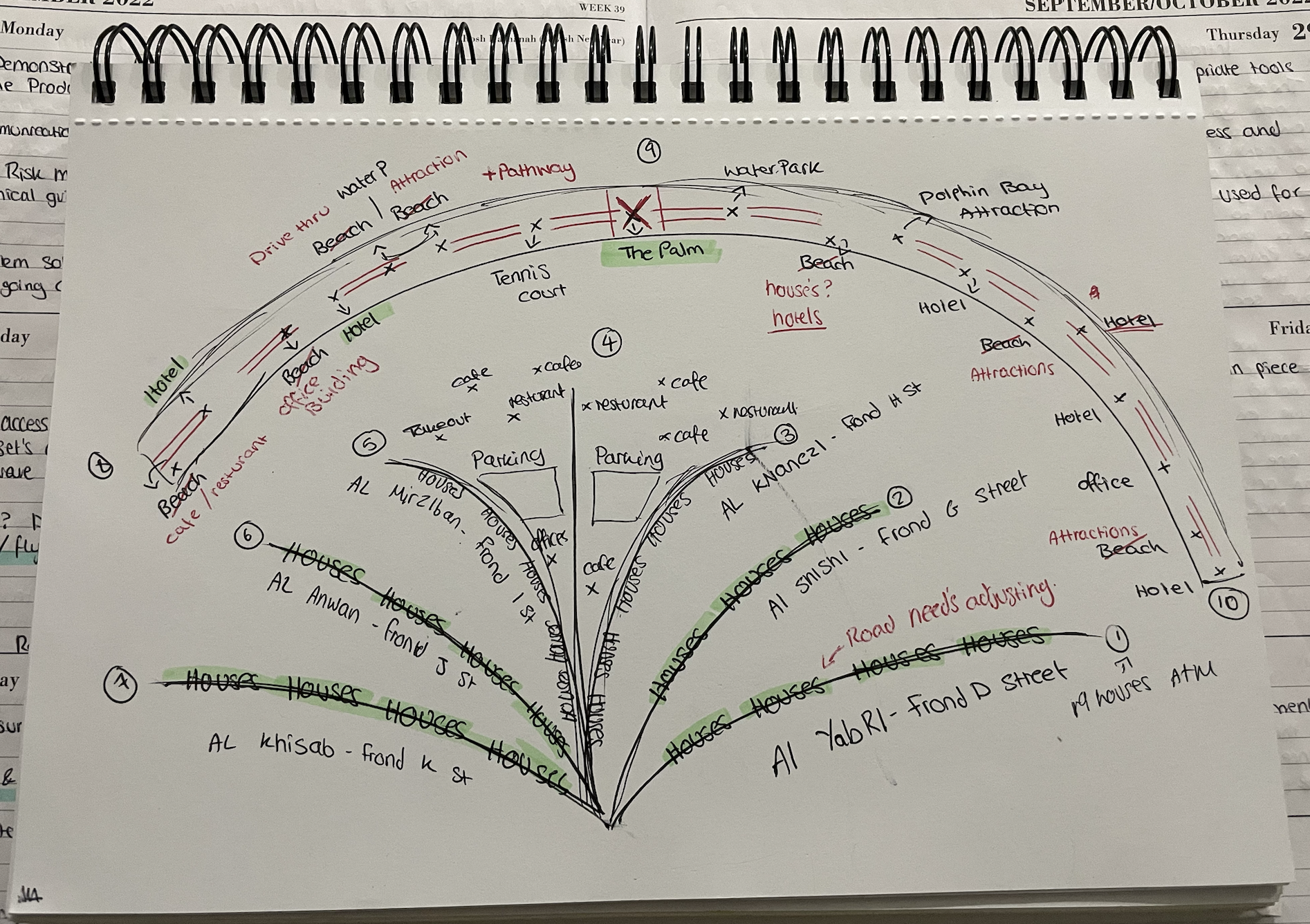
The figures above show a detailed design of a before and after plan during my journey of this project. Figure one clearly shows a well-drawn and carefully analysed sketch of the Palm Jumeirah, showing exactly how I could design my map and where I planned to locate certain assets, this plan was before I had decided to take out the beach on the map. However, figure two demonstrates a raw design piece of how my plan escalated whilst working on the map, and how I managed to change many decisions that I first planned to make, but later removed in my second image.
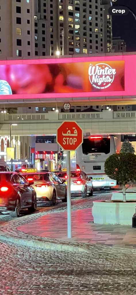
Whilst also making sure that I keep my project ethically thoughtful within my audience, I managed to identify some road signs that showed the diversity equality in the UAE, suitable for both the arabs and tourists to understand, as mentioned in my plan.